Pas de Peyrol from Dienne
10.9km
535m gain
4.9avg %
Up the Santoire valley to the highest road pass in the Massif Central (1,589 m). The 2020 Tour finished at the summit.
Figures: Climbfinder; pass and Tour: Wikipedia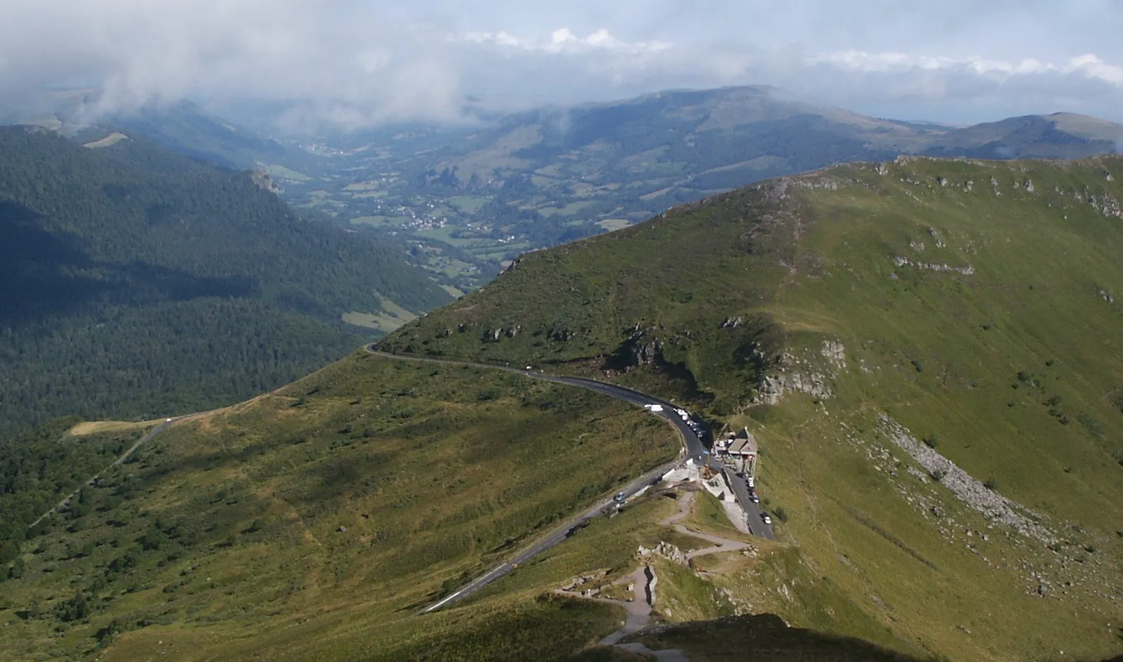
France without the crowds: green volcanic mountains in the heart of the Massif Central, and the highest road pass in the range.
Photo: Benoit Kornmann · CC BY-SA 3.0
The Cantal lies in the Massif Central, inside the Auvergne Volcanoes Regional Park. Its centrepiece is the Monts du Cantal – the remnants of the largest stratovolcano in Europe – with green valleys radiating out from the Puy Mary.
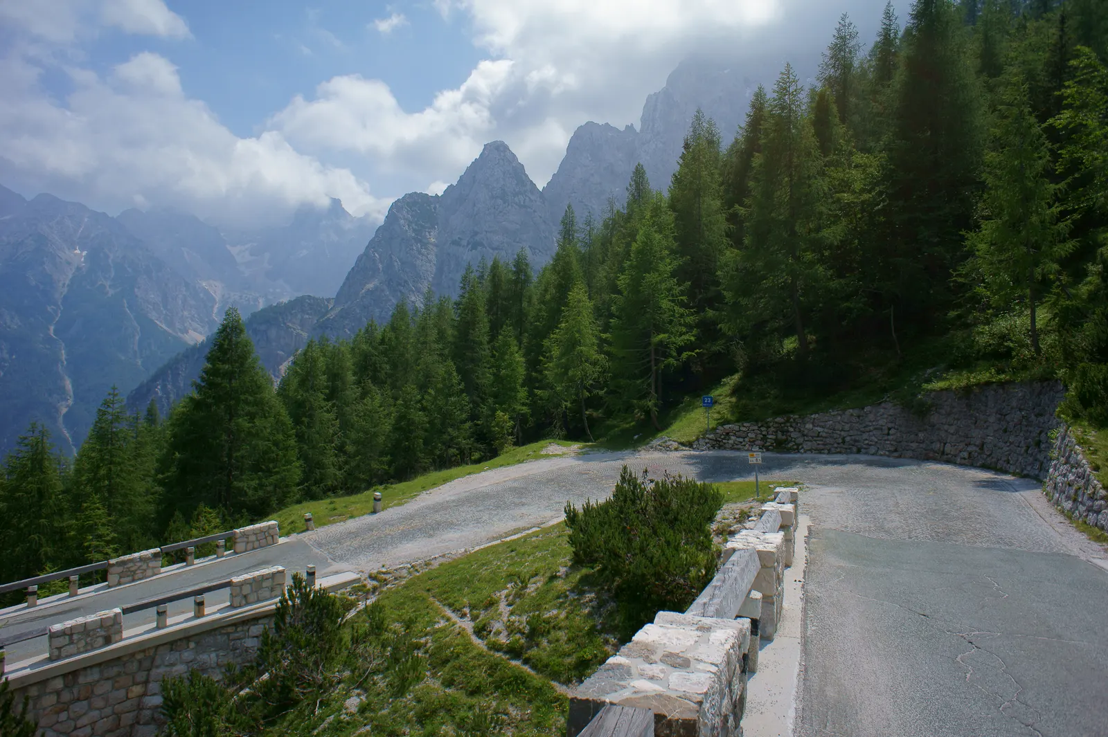
The road over the Pas de Peyrol (1,589 m) below the Puy Mary is the highest road pass in the Massif Central. The Tour de France first crossed it in 1959 and finished at the top in 2020. From Dienne the climb is 10.9 km at 4.9 %; from Salers it ends with three kilometres averaging 12 %.
We chose the Cantal as our French destination because it is the opposite of the famous French cycling regions: no Alpine resort traffic, no Ventoux queues – just green mountains and small roads. See the reasoning in our prototype notes.
Editorial Provisional – to verify Our judgement, based on the sources below. Disagree? Ask or suggest a correction.
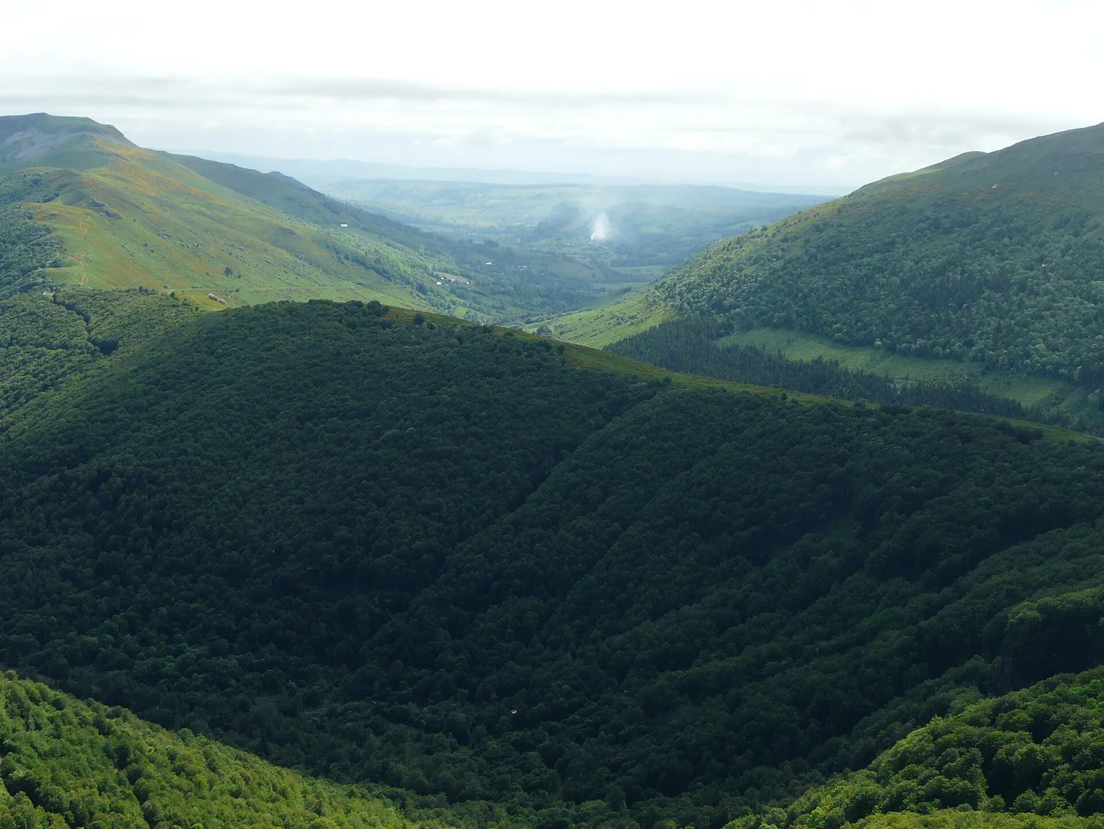
Volcanic mountains with long green valleys: climbs follow the valleys up to the central ridge, so every side of the Puy Mary is a different ascent.
Gradients are moderate on most approaches, with steep finishes on some sides (Salers). Expect plenty of climbing in short distances.
Published figures vary slightly with start and finish points; we show one sourced version for each. GPX: [PLACEHOLDER] GPX collection – Release 2
Up the Santoire valley to the highest road pass in the Massif Central (1,589 m). The 2020 Tour finished at the summit.
Figures: Climbfinder; pass and Tour: WikipediaEditorial Base-town choice is our editorial judgement.
[PLACEHOLDER] Boutique and cyclist-friendly hotels: bike room, workshop corner, early breakfast
[PLACEHOLDER] Villas and group accommodation with secure bike storage
[PLACEHOLDER] Swimming pools, spas and recovery options near the base towns
Every ride needs a stop. We only list places we have checked – this chapter is being researched for Cantal & the Auvergne volcanoes.
Late May to September is the season. Aurillac (632 m) is wet all year – 8 to 13 rain days a month – and the Pas de Peyrol is about 950 m higher and correspondingly colder. Winter brings snow to the high roads.
| Aurillac (Météo-France via Meteociel) | Jan | Feb | Mar | Apr | May | Jun | Jul | Aug | Sep | Oct | Nov | Dec |
|---|---|---|---|---|---|---|---|---|---|---|---|---|
| Avg high °C | 6.9 | 8.1 | 11.9 | 14.5 | 18.4 | 22.2 | 24.6 | 24.6 | 20.5 | 16.2 | 10.7 | 7.7 |
| Avg low °C | -0.5 | -0.8 | 1.7 | 4.0 | 7.6 | 10.7 | 12.5 | 12.4 | 9.1 | 6.9 | 2.8 | 0.3 |
| Rain mm | 90 | 76 | 79 | 108 | 107 | 82 | 71 | 88 | 107 | 100 | 118 | 106 |
| Rain days | 12.1 | 10.7 | 10.9 | 11.9 | 11.9 | 9.2 | 7.9 | 9.0 | 9.1 | 10.9 | 12.6 | 12.4 |
| Sun hours | 105 | 127 | 176 | 185 | 211 | 244 | 272 | 258 | 211 | 153 | 104 | 100 |
| Rating | Off-season | Off-season | Off-season | Good | Good | Prime | Prime | Prime | Prime | Good | Off-season | Off-season |
Station: Aurillac (Météo-France via Meteociel), 632 m, 1991–2020 normals. Aurillac (632 m) lies at the south-western foot of the Monts du Cantal; the Pas de Peyrol (1,589 m) is roughly 950 m higher and correspondingly colder, with snow possible well into spring. Rain days = days with ≥ 1.0 mm. Source: Wikipedia – Aurillac, climate table (source: Meteociel / Météo-France), retrieved 14 Nov 2026. Rating rule: how we rate months.
Green volcanoes, quiet D-roads and the highest pass in the Massif Central. Editorial
[PLACEHOLDER] Villages, festivals and traditions worth knowing
[PLACEHOLDER] Walks, swims, wineries, museums – to be researched
Drive: driveable from Switzerland with your own bike. Drive time from Geneva / Basel / Zurich – to verify
Fly: Clermont-Ferrand or Lyon, then a transfer. Connections and transfer times – to verify
Independent recommendations only. If we ever earn a commission, the link will be labelled – and it never decides what we recommend.
Availability: Limited Editorial Provisional – to verify
[PLACEHOLDER] Named rental shops and workshops, with date last verified
[PLACEHOLDER] Local bike shops and mechanics, with date last verified
[PLACEHOLDER] Airport transfers for bike boxes, taxis, luggage transfer, public transport
Estimated cost level: €€ Editorial Provisional – to verify – a relative editorial estimate, not a price.
Estimate your trip budgetReady-to-ride 3-, 5- and 7-day plans – not yet available for this destination. [PLACEHOLDER] price and release date not set
Ask about routes, the best month, rentals, accommodation or logistics. Good questions may become a public FAQ – only with your consent.