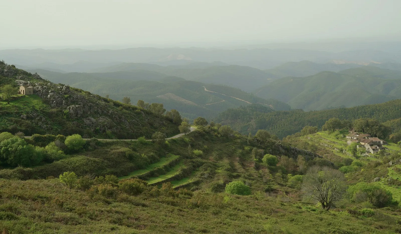
Fóia – Serra de Monchique
From Caldas de Monchique · 16.4 km · 4.9 % average
Photo: Photo: Serge Fenenko · CC BY-SA 4.0

- Start
- Caldas de Monchique
- Summit
- 902 m
- Distance
- 16.4 km
- Elevation gain
- 795 m
- Average gradient
- 4.9 %
- Maximum gradient
- Not reliably sourced
- Difficulty
- Hard (FIETS 3.9)
The climb at a glance
Schematic A straight line at the average gradient – the real road is steeper in places and easier in others.
- Fóia (902 m) is the highest mountain of the Algarve (Wikipedia).
- Caldas de Monchique, the start, is a spa village with hot springs about 6 km south of Monchique (Wikipedia).
In the footsteps of the pros
No Grand Tour history recorded in our sources yet. [PLACEHOLDER] Regional races and events – to research
How long might it take?
| Sustained power | ≈ Time |
|---|---|
| 2.5 W/kg | 1 h 11 |
| 3.5 W/kg | 53 min |
| 4.5 W/kg | 44 min |
Estimate Physics model at constant power on a constant 4.9 % gradient: rider 75 kg, bike and kit 9 kg, rolling resistance 0.005, CdA 0.4 m², air density 1.1 kg/m³, 3 % drivetrain loss; W/kg relative to rider weight; no wind, no stops. Real times vary – this is not a standard.
Best season
Nearest destination climate: prime Feb–Jun, Sep–Dec (Faro Airport (IPMA), 1991–2020 normals).
Weather & altitude
Low enough that altitude itself is not a factor; heat and sun can be.
Surface & traffic
[PLACEHOLDER] Road surface, traffic and tunnels – to verify
Water & food
[PLACEHOLDER] Fountains, cafés and the last shop before the top – to verify
Descent
[PLACEHOLDER] Descent notes – surface, hairpins, cold. Always pack a layer.
Nearby climbs
- Torre – Serra da Estrela ≈ 345 km away (straight line)
- Calar Alto ≈ 535 km away (straight line)
- Alto de l'Angliru ≈ 694 km away (straight line)
Sources & verification
Data Figures copied from the sources listed, retrieved 14 Nov 2026. Published numbers differ with the exact start and finish – we show one sourced version. Exact start point and date of on-the-road verification: [PLACEHOLDER] to record.